Cajon Pass road conditions
Live Cajon Pass conditions, straight from Caltrans: camera views along I-15 from Victorville down to Glen Helen, chain controls for the pass and the mountain highways, and the messages on the overhead freeway signs. Cameras refresh every few minutes.
Chain controls
- I-15 Cajon Pass Checking...
- Highway 138 (Phelan to Crestline) Checking...
- Highway 2 (Wrightwood and Big Pines) Checking...
- Highway 173 (Lake Arrowhead back road) Checking...
- Highway 18 (Crestline to Big Bear) Checking...
- Highway 330 (Running Springs) Checking...
Live from Caltrans. Chain controls usually start with snow above about 4,000 feet.
What the freeway signs say right now
The overhead message boards on I-15 and the mountain highways, as Caltrans reports them.
- Loading Caltrans signs...
I-15 cameras, Victorville to Glen Helen
In driving order heading down the hill. Tap a camera for the full-size image.
-
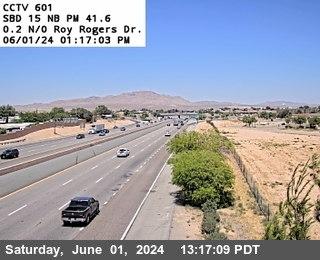 I-15 at Roy Rogers DriveVictorville
 -
 I-15 at Bear Valley RoadVictorville and Hesperia
 -
 I-15 at Main StreetHesperia
 -
 I-15 at US-395Hesperia
 -
 I-15 at Oak Hill RoadNear the summit
 -
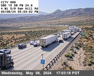 I-15 at Brake CheckCajon Pass
 -
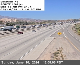 I-15 at Highway 138Cajon Pass
 -
 I-15 south of Cleghorn RoadLytle Creek
 -
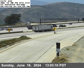 I-15 at KenwoodBelow the pass
 -
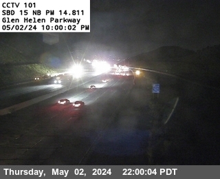 I-15 at Glen Helen ParkwaySan Bernardino
Drive times right now
From Old Town Victorville with live traffic.
- San Bernardino --
- Fontana --
- Rancho Cucamonga --
- Ontario --
- Riverside --
- Pomona --
- Corona --
- Anaheim --
- Los Angeles (downtown) --
- Irvine --
- Palm Springs --
- San Diego --
- Las Vegas --
Times update about every 10 minutes and assume you leave now. Yellow shows extra minutes from traffic. Check Cajon Pass cameras and conditions before you go.
Mountain highway cameras
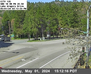
Highway 138 through Phelan, Highway 2 at Wrightwood and Highway 18 at Lake Gregory. Useful on snow days.
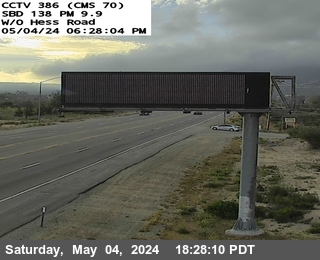
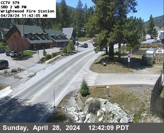
Driving the pass in bad weather
- High wind: Caltrans posts wind warnings for trucks, RVs and trailers on I-15 through the pass. If you tow, check the signs above before you leave.
- Snow: I-15 rarely gets chain controls, but Highways 138, 2, 18 and 173 do. Carry chains on mountain trips from November through March.
- Fire season: brush fires in the pass can close all lanes. The alerts page shows active wildfires within 75 miles and National Weather Service warnings, including red flag warnings.
- Detours: if I-15 closes, Highway 138 to Highway 18 or Highway 173 is the usual way around, and it is slow and winding.
Full statewide map of closures, chain controls and cameras: Caltrans QuickMap.
Cameras, signs and chain controls are public data from Caltrans District 8. Drive times are from Mapbox live traffic.